

BC HighwayCams - Highway 101 (Sunshine Coast)
Please note all BC HwyCams use Pacific Time Zone (PT).
Attention motorists:
Spring weather can make highway conditions in B.C. unpredictable, particularly through high mountain passes. Please be prepared and be aware that winter tires and chains may still be needed.
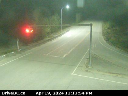 |
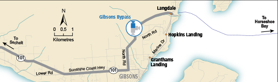
Gibsons Bypass - N
Hwy 101, top of Gibsons Bypass at Stewart Rd, looking north. (elevation: 196 metres) |
||
Weather Forecast (from Environment Canada)All weather stations (current weather) for this region (map) |
|||
|
|||
 Lund - N Hwy 101, about 8.5 km south of Lund, looking north. |  Lund - S Hwy 101, about 8.5 km south of Lund, looking south. |  Powell River Hwy 101 near Loubert Road in the qathet Regional District, looking south. |  Earls Cove Hwy 101 at Egmont Rd, south of Earls Cove on the Sunshine Coast, looking South. |
 Secret Cove Hwy 101 at Brooks Rd on the Sunshine Coast, looking south. |  Trout Lake - W Hwy 101, about 10 km north of Sechelt, looking west. |  Trout Lake - E Hwy 101, 10 km north of Sechelt, looking east. |  Gibsons Bypass - N Hwy 101, top of Gibsons Bypass at Stewart Rd, looking north. |
 Gibsons Bypass - NE Hwy 101, top of Gibsons Bypass at Stewart Rd, looking northeast. |  Gibsons Bypass - S Hwy 101, top of Gibsons Bypass at Stewart Rd, looking south. |
||
