


BC HighwayCams - Highway 27
Please note all BC HwyCams use Pacific Time Zone (PT).
Attention motorists:
Spring weather can make highway conditions in B.C. unpredictable, particularly through high mountain passes. Please be prepared and be aware that winter tires and chains may still be needed.
We reserve the right to restrict travel at any time of the year depending on road conditions.
Click for more information
 |
|
|||||||
|
||||||||
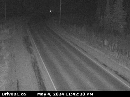
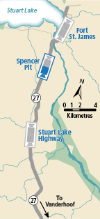
 Fort St. James - N Highway 27 at Hill Street/Greenview Drive in Fort St. James, looking north. |  Fort St. James - S Highway 27 at Hill Street/Greenview Drive in Fort St. James, looking south. |  Spencer Pit - N Highway 27 about 12 km south of Fort St. James at Spencer Pit, looking north. |  Spencer Pit - S Highway 27 about 12 km south of Fort St. James at Spencer Pit, looking south. | |||||
 Stuart Lake Highway - N Highway 27 about 32 km south of Fort St. James, looking north. |  Stuart Lake Highway - S Highway 27 about 32 km south of Fort St. James, looking south. |
|||||||
