


BC HighwayCams - Highway 5
Please note all BC HwyCams use Pacific Time Zone (PT).
Attention motorists:
Spring weather can make highway conditions in B.C. unpredictable, particularly through high mountain passes. Please be prepared and be aware that winter tires and chains may still be needed.
We reserve the right to restrict travel at any time of the year depending on road conditions.
Click for more information
 |
|
|||||||
|
||||||||
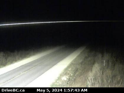
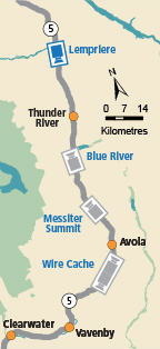
 Lempriere Highway 5 about 40 km north of Blue River and 26 km south of Albreda, looking south. |  Blue River Highway 5 at Shell Road in Blue River, looking northeast. |  Messiter Summit Highway 5 about 20 km south of Blue River and 19 km north of Avola, looking north. |  Wire Cache - N Highway 5 about 15 km south of Avola, looking north. | |||||
 Wire Cache - S Highway 5 about 15 km south of Avola, looking south. |
||||||||
