


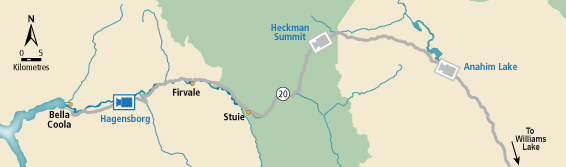
BC HighwayCams - Highway 20
Please note all BC HwyCams use Pacific Time Zone (PT).
Attention motorists:
Spring weather can make highway conditions in B.C. unpredictable, particularly through high mountain passes. Please be prepared and be aware that winter tires and chains may still be needed.
We reserve the right to restrict travel at any time of the year depending on road conditions.
Click for more information
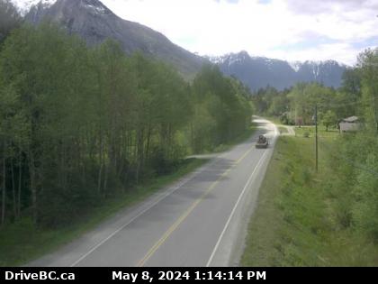 |
Hagensborg
Highway 20 between Bella Coola and Hagensborg, looking west. (elevation: 42 metres) |
||
Weather Forecast (from Environment Canada)All weather stations (current weather) for this region (map) |
|||
|
|||
 Hagensborg Highway 20 between Bella Coola and Hagensborg, looking west. |  Heckman Summit Highway 20 about 88 km from Bella Coola and 41 km from Anahim Lake, near gate at top of Bella Coola hill, looking west. |  Anahim Lake Highway 20 near Anahim Lake, about 140 km east of Bella Coola, looking west. |  Alexis Creek Highway 20 at Stum Lake Road in Alexis Creek, looking west. |
