


BC HighwayCams - Highway 101 (Sunshine Coast)
Please note all BC HwyCams use Pacific Time Zone (PT).
Attention motorists:
Spring weather can make highway conditions in B.C. unpredictable, particularly through high mountain passes. Please be prepared and be aware that winter tires and chains may still be needed.
We reserve the right to restrict travel at any time of the year depending on road conditions.
Click for more information
 |
|
|||||||
|
||||||||
Weather Forecast (from Environment Canada)All weather stations (current weather) for this region (map) |
||||||||
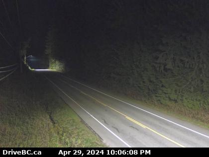
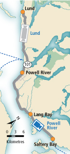
 Lund - N Highway 101 about 8.5 km south of Lund, looking north. |  Lund - S Highway 101 about 8.5 km south of Lund, looking south. |  Powell River Highway 101 near Loubert Road in the qathet Regional District, looking south. |  Earls Cove Highway 101 at Egmont Road, south of Earls Cove on the Sunshine Coast, looking South. | |||||
 Secret Cove Highway 101 at Brooks Road on the Sunshine Coast, looking south. |  Trout Lake - W Highway 101 about 10 km north of Sechelt, looking west. |  Trout Lake - E Highway 101 about 10 km north of Sechelt, looking east. | Image Temporarily Unavailable. Gibsons Bypass - N Highway 101 at top of Gibsons Bypass at Stewart Road, looking north. | |||||
Image Temporarily Unavailable. Gibsons Bypass - NE Highway 101 at top of Gibsons Bypass at Stewart Road, looking northeast. | Image Temporarily Unavailable. Gibsons Bypass - S Highway 101 at top of Gibsons Bypass at Stewart Road, looking south. |
|||||||
