BC HighwayCams - Highway 31
Northern, Southern Interior and Vancouver Island images will update every 15 to 30 minutes; Lower Mainland images will update about every two to 15 minutes.
Please note all BC HwyCams use Pacific Time Zone (PT).
Attention motorists:
Spring weather can make highway conditions in B.C. unpredictable, particularly through high mountain passes. Please be prepared and be aware that winter tires and chains may still be needed.
We reserve the right to restrict travel at any time of the year depending on road conditions.
Click for more information
 |
|
|||||||
|
||||||||
Weather Forecast (from Environment Canada)All weather stations (current weather) for this region (map) |
||||||||
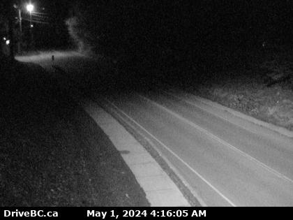
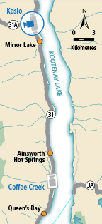
 Galena Road - W Highway 31 in Galena Pass, looking westbound. |  Galena Road - E Highway 31 in Galena Pass, looking eastbound. |  Cooper Creek Highway 31 at Duncan Lake Road about 35 km north of Kaslo, looking south. |  Kaslo - N Highway 31 at Highway 31A Junction in Kaslo, looking northbound. | |||||
 Kaslo - W Highway 31 at Highway 31A Junction in Kaslo, looking westbound. |  Kaslo - S Highway 31 at Highway 31A Junction in Kaslo, looking southbound. |  Coffee Creek Highway 31 about 45 km north of Nelson and 25 km south of Kaslo, looking north. |
||||||