BC HighwayCams - Highway 33
Northern, Southern Interior and Vancouver Island images will update every 15 to 30 minutes; Lower Mainland images will update about every two to 15 minutes.
Please note all BC HwyCams use Pacific Time Zone (PT).
 Attention motorists:
Spring weather can make highway conditions in B.C. unpredictable, particularly through high mountain passes. Please be prepared and be aware that winter tires and chains may still be needed.
Winter tires or chains are required on most routes in British Columbia from October 1 to April 30. For select highways not located through mountain passes and/or high snowfall areas, tire and chain requirements end March 31. These routes are marked with regulatory signs posted on highways throughout the province. We reserve the right to restrict travel at any time of the year depending on road conditions.
Click for more information
 |
|
|||||||
|
||||||||
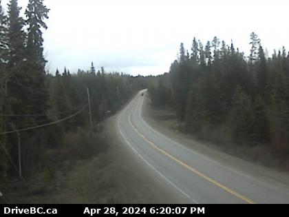
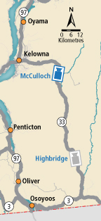
 McCulloch - N Highway 33 about 41 km southeast of Kelowna, just south of Big White Road, looking north. |  McCulloch - S Highway 33 about 41 km southeast of Kelowna, just south of Big White Road, looking south. |  Highbridge - N Highway 33 about 14 km north of Westbridge and 20 km south of Beaverdell, looking north. |  Highbridge - S Highway 33 about 14 km north of Westbridge and 20 km south of Beaverdell, looking south. | |||||