BC HighwayCams - Highway 27
Northern, Southern Interior and Vancouver Island images will update every 15 to 30 minutes; Lower Mainland images will update about every two to 15 minutes.
Please note all BC HwyCams use Pacific Time Zone (PT).
Attention motorists:
Spring weather can make highway conditions in B.C. unpredictable, particularly through high mountain passes. Please be prepared and be aware that winter tires and chains may still be needed.
 |
|
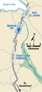
| Spencer Pit - S
Hwy 27, about 12km south of Fort St. James at Spencer Pit, looking south. (elevation: 727 metres) |
|
|
|
|
|
 |
|
Fort St. James - N
Hwy 27 at Hill St/Greenview in Fort St. James, looking north. | Fort St. James - S
Hwy 27 at Hill St/Greenview in Fort St. James, looking south. | Spencer Pit - N
Hwy 27, about 12km south of Fort St. James at Spencer Pit, looking north. | Spencer Pit - S
Hwy 27, about 12km south of Fort St. James at Spencer Pit, looking south. |
Stuart Lake Highway - N
Hwy 27, about 32 km south of Fort St. James, looking north. | Stuart Lake Highway - S
Hwy 27, about 32 km south of Fort St. James, looking south. |