BC HighwayCams - Highway 24
Northern, Southern Interior and Vancouver Island images will update every 15 to 30 minutes; Lower Mainland images will update about every two to 15 minutes.
Please note all BC HwyCams use Pacific Time Zone (PT).
Attention motorists:
Spring weather can make highway conditions in B.C. unpredictable, particularly through high mountain passes. Please be prepared and be aware that winter tires and chains may still be needed.
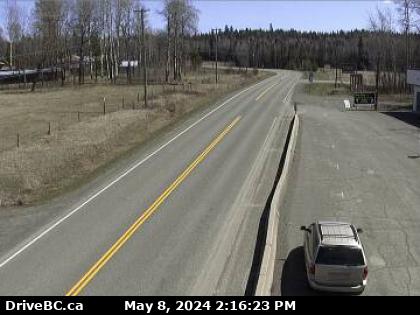 |
Sheridan Lake - E
Hwy 24, 63 km west of Little Fort, looking east. (elevation: 1132 metres) |
||
Weather Forecast (from Environment Canada) |
|||
|
|||
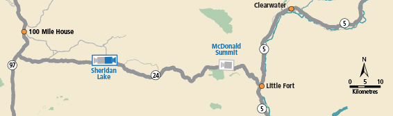
Sheridan Lake - W Hwy 24, 63 km west of Little Fort, looking west. | Sheridan Lake - E Hwy 24, 63 km west of Little Fort, looking east. | McDonald Summit Hwy 24, 15 km west of Little Fort, looking west. | |