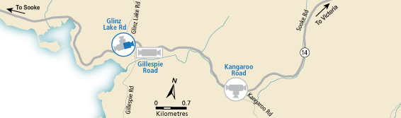
BC HighwayCams - Highway 14
Northern, Southern Interior and Vancouver Island images will update every 15 to 30 minutes; Lower Mainland images will update about every two to 15 minutes.
Please note all BC HwyCams use Pacific Time Zone (PT).
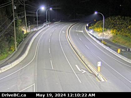 |
Glinz Lake Road - E
Highway 14 at Glinz Lake Road, looking east. (elevation: 224 metres)
|
Weather Forecast (from Environment Canada)
|
|
 |
|
Hwy 14 at Trailhead Drive
Highway 14 near Cormorant Way / Trailhead Drive, looking east. | Sooke - W
Highway 14 at Lazzar Road near Sooke, looking west. | Sooke - E
Highway 14 at Lazzar Road near Sooke, looking east. | Glinz Lake Road - N
Highway 14 at Glinz Lake Road, looking north. |
Glinz Lake Road - W
Highway 14 at Glinz Lake Road, looking west. | Glinz Lake Road - E
Highway 14 at Glinz Lake Road, looking east. | Gillespie Road - W
Highway 14 at Gillespie Road, looking west. | Gillespie Road - E
Highway 14 at Gillespie Road, looking east. |
Hwy 14 at Kangaroo Road - W
Highway 14 at Kangaroo Road, looking west. | Hwy 14 at Kangaroo Road - E
Highway 14 at Kangaroo Road, looking east. | Hwy 14 at Kangaroo Road - S
Highway 14 at Kangaroo Road, looking south | Suyer Road
Highway 14, between Langford and Sooke near Suyer Road, looking west. |
Hwy 14 at West Shore Parkway - N
Highway 14 at West Shore Parkway, looking north to West Shore Parkway. | Hwy 14 at West Shore Parkway - W
Hwy 14 at West Shore Parkway, looking west. | Hwy 14 at West Shore Parkway - E
Highway 14 at West Shore Parkway, looking east. | Veteran's Memorial Parkway - N
Highway 14 (Veteran's Memorial Parkway) at Goldstream Avenue in Langford, looking north. |
Veteran's Memorial Parkway - W
Highway 14 (Veteran's Memorial Parkway) at Goldstream Avenue in Langford, looking west. | Veteran's Memorial Parkway - E
Highway 14 (Veteran's Memorial Parkway) at Goldstream Avenue in Langford, looking east. | Veteran's Memorial Parkway - S
Highway 14 (Veteran's Memorial Parkway) at Goldstream Avenue in Langford, looking south. |