BC HighwayCams - Highway 35
Northern, Southern Interior and Vancouver Island images will update every 15 to 30 minutes; Lower Mainland images will update about every two to 15 minutes.
Please note all BC HwyCams use Pacific Time Zone (PT).
Attention motorists:
Spring weather can make highway conditions in B.C. unpredictable, particularly through high mountain passes. Please be prepared and be aware that winter tires and chains may still be needed.
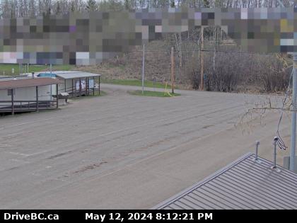 |
Francois Lake Northbank Ferry Landing
Hwy 35 at Francois Lake Northbank Ferry Landing looking at lineup. (elevation: 718 metres) |
||
Weather Forecast (from Environment Canada)All weather stations (current weather) for this region (map) |
|||
|
|||
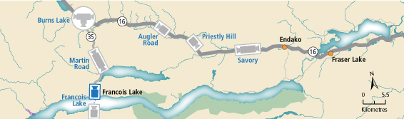
 Martin Rd - N Hwy 35, near Martin Road midway between Burns Lake and the northern Francois Ferry Landing, looking north. |  Martin Rd - S Hwy 35, near Martin Road midway between Burns Lake and the northern Francois Ferry Landing, looking south. |  Francois Lake Northbank Ferry Landing Hwy 35 at Francois Lake Northbank Ferry Landing looking at lineup. |  Francois Lake Southbank Ferry Landing Hwy 35 at Francois Lake Southbank Ferry Landing looking north at ferry ramp. |