
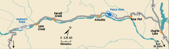
BC HighwayCams - Highway 29
Please note all BC HwyCams use Pacific Time Zone (PT).
 Attention motorists:
Winter tires or chains are required on most routes in British Columbia from October 1 to April 30. For select highways not located through mountain passes and/or high snowfall areas, tire and chain requirements end March 31. These routes are marked with regulatory signs posted on highways throughout the province. We reserve the right to restrict travel at any time of the year depending on road conditions.
Click for more information
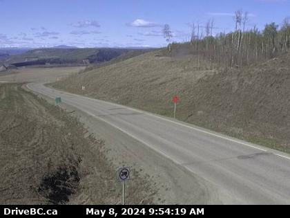 |
Peace View Rest Area - SW
Hwy 29, 29 km west of Ft. St. John, looking southwest. (elevation: 512 metres) |
||
|
|||
Image Temporarily Unavailable. Hudson's Hope - NE Hwy 29, about 1.5 km north of Hudson's Hope at Powell Rd, looking northeast. | Image Temporarily Unavailable. Hudson's Hope - SW Hwy 29, about 1.5 km north of Hudson's Hope at Powell Rd, looking southwest. |  Tumbler Ridge Hwy 29 at Hwy 52, looking westbound on Hwy 29. |  Peace View Rest Area - NE Hwy 29, 29 km west of Ft. St. John, looking northeast. |
 Peace View Rest Area - SW Hwy 29, 29 km west of Ft. St. John, looking southwest. |
|||
